Case study · OS
CommandOS
Intelligent control infrastructure for modern urban mobility.
The challenge
Organisations with sites, vehicles and visitors spread across a region need one live picture: where people and vehicles are, who is on site, and which threats are nearby.
What we built
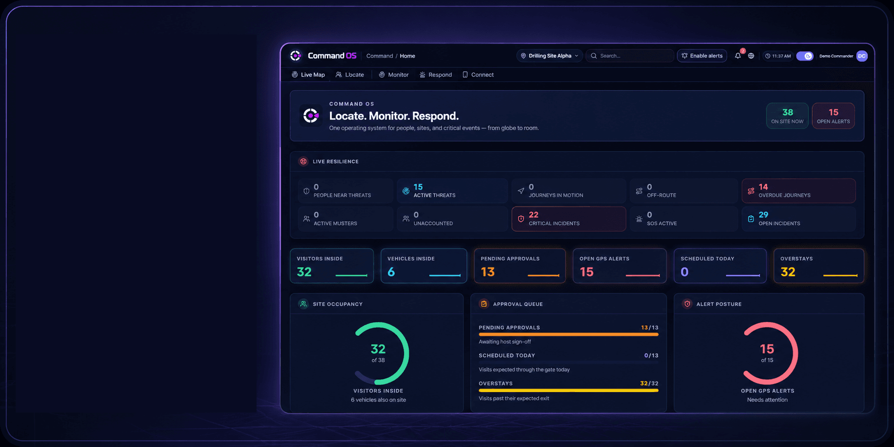
CommandOS is a command-and-control platform that shows sites, zones and GPS-tracked vehicles on a live map, manages visitors and journeys, and pulls in threat intelligence, on the web and in a mobile app for field staff.
Key features
- Live map of sites, zones and vehicles tracked by Teltonika GPS devices
- Incidents, threats and alerts, with feeds such as ACLED, GDACS and ReliefWeb
- Visitors, visits and staff roster with approvals
- Journeys, fleet, geofences and muster
- Mobile app with NFC verification and SOS calling
- AI advisor that summarises the threat picture with Google Gemini
Platforms
- Web app
- Mobile app for field staff (Flutter, iPhone and Android)
Technology
- Next.js 15
- React 19
- Node.js / Express
- Socket.IO
- Redis
- BullMQ
- PostgreSQL
- Prisma
- MapLibre GL
- Flutter
- Firebase Cloud Messaging
- Twilio
- LiveKit
- Google Gemini
- Railway
Project facts
- More than 670 commits in its codebase since May 2026
- Interface in English, Arabic, Kurdish, Turkish and Persian, with right-to-left layouts
- Dedicated services for receiving and processing GPS data
- Live at commandos.easykrd.com
- Designed, built and maintained in-house by Easy Technology in Erbil and Duhok, Iraq
About this project
Built by Easy Technology in Erbil and Duhok, Iraq.